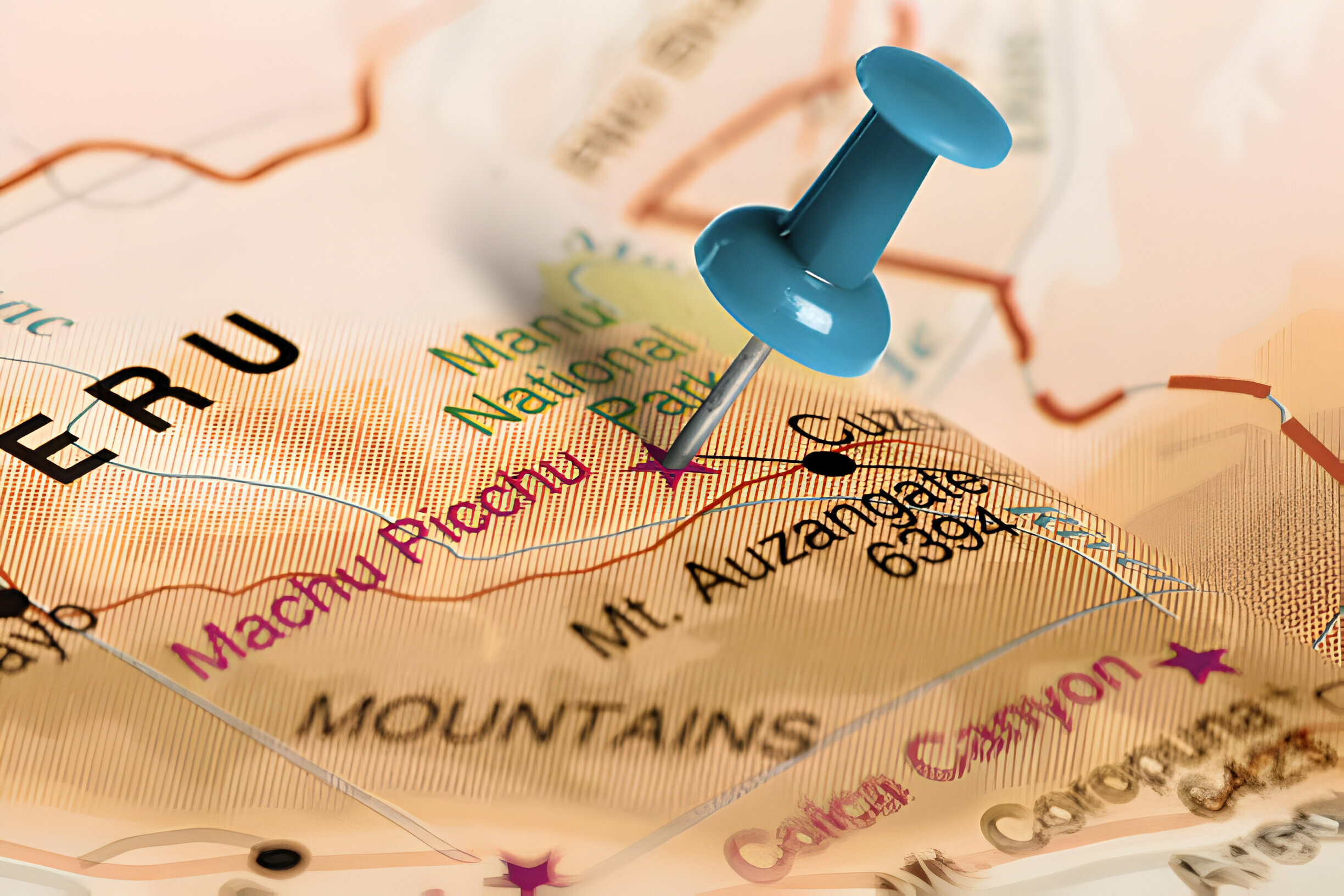
Machu Picchu sits at 2,430m in the Vilcanota range of the Peruvian Andes, inside the Historic Sanctuary of Machu Picchu — a 32,500-hectare protected zone. The citadel is 112 km northwest of Cusco by road and rail. Knowing where it actually sits on the map helps shape the trip: there’s no road to the site, so the final leg is always a train plus a bus or a trek.
The site is in the Cusco Region, at 13.1631° S / 72.5450° W. The valley is the Urubamba, which loops around the base of the ridge in a near-complete horseshoe. Peruways’ trip briefings include detailed site maps — the three circuits in place since 2024, the Huayna Picchu and Machu Picchu Mountain trails, the Inca Bridge and Sun Gate side-paths.
The practical geography matters. Aguas Calientes (also called Machu Picchu Pueblo) sits in the valley at 2,040m, 400m below the citadel. The Consettur bus climbs those 400m in 25 minutes. Ollantaytambo, where most trains originate, is 60km upstream of Aguas Calientes.
Peruways’ transport covers each leg: Cusco–Ollantaytambo by road, Ollantaytambo–Aguas Calientes by train (PeruRail or Inca Rail), Aguas Calientes–citadel by Consettur bus. Any one of those legs can be booked separately or as a package.
Book your Machu Picchu day at Peruways and we lay the whole chain out on one email with a map.